1
/
of
1
Nova Scotia Archives
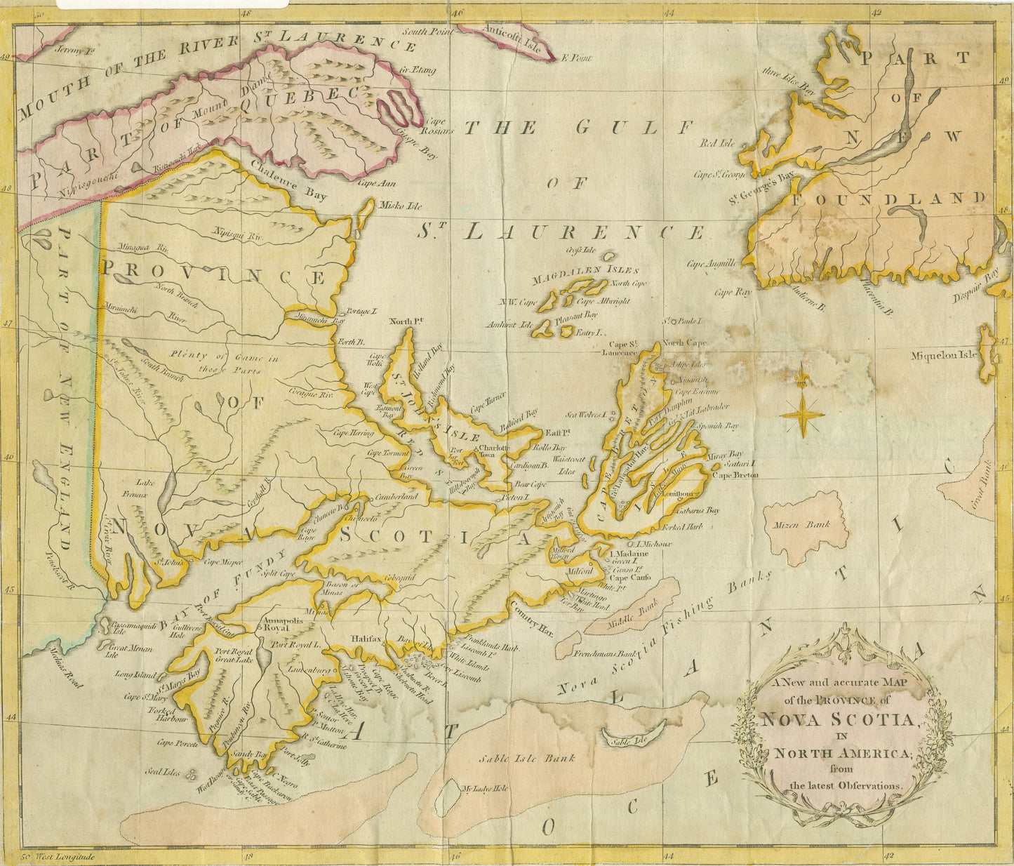
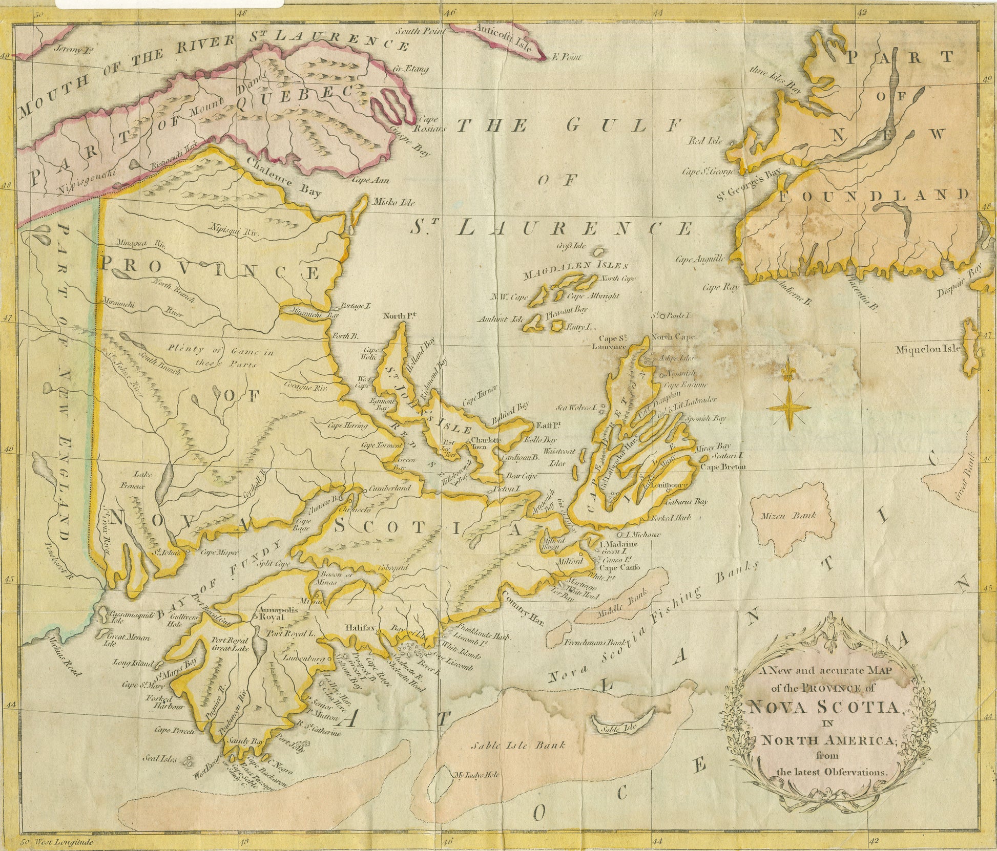
A New and accurate Map of the Province of Nova Scotia in North America from the latest Observation
A New and accurate Map of the Province of Nova Scotia in North America from the latest Observation
Regular price
$9.00 USD
Regular price
Sale price
$9.00 USD
Unit price
/
per
Couldn't load pickup availability
"A New and accurate Map of the Province of Nova Scotia in North America from the latest Observations"
Coloured map showing parts of Newfoundland, St. John's Island [Prince Edward Island], Quebec, New Brunswick and New England.
Date: 1783
Reference: Nova Scotia Archives Map Collection: 200-1783: loc.3.5.7

-
How can I use Nova Scotia Archives Digital Copies?
Digital copies of archival materials held by the Nova Scotia Archives are provided to you for limited, non-exclusive, non-transferable use, for the purposes of research or private study.
-
What is included in my purchase?
You will download a high resolution PDF image that can be printed yourself, or taken to your local photographic service for printing to special paper, custom framing, etc.

